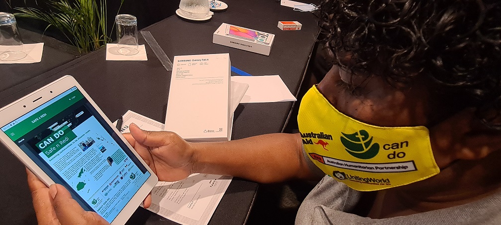
A Geographic Information System (GIS) mapping workshop is underway at Lautoka’s Tanoa Waterfront Hotel for church representatives who will be carrying out mapping of evacuation centres in the Western Division this week.
This is under the Church Agencies Network Disaster Operations (CAN DO) Safe n Redi Project funded by the Australian government through the Australian Humanitarian Partnership whereby ADRA Fiji, as the secretariat, works closely with the churches to build communities in Fiji that are inclusive, safe and ready to provide dignity and protection for all in times of disaster.
GIS coordinator Katherine Madigibuli says the project is aimed at leveraging the expertise and achievements of CAN DO local partners in Fiji to address the disaster-ready needs of the communities and respond to and align to the Fiji government priorities.
She says the mapping exercise and the use of Safe n Redi apps will come in handy for the Fiji NDMO in times of disasters where they will access those data to identify evacuation centres to be used in affected areas, their accessibility, capacity, and other features.